Cutting-edge drone tech maps land and water with laser accuracy
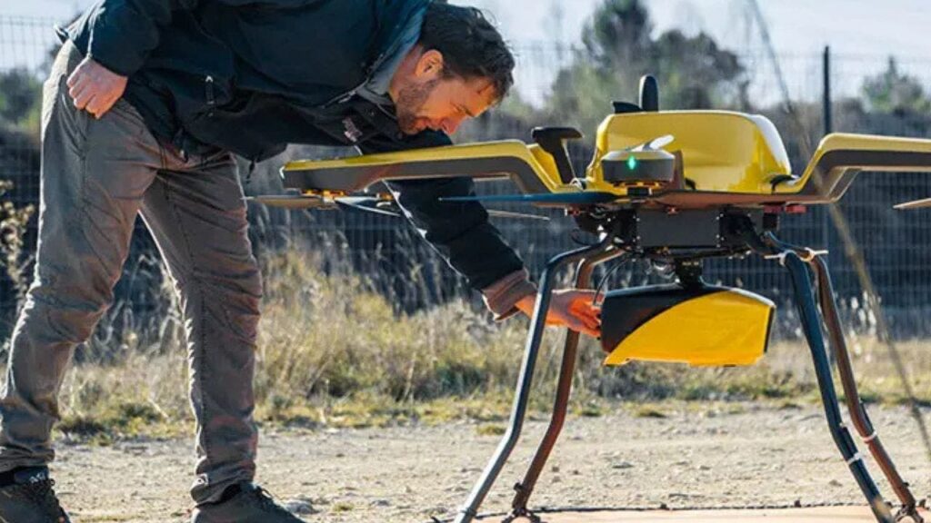
Picture yourself standing by a river, watching as a drone hums overhead. Below, its lidar system scans the landscape, mapping both the land and the shallow waters with pinpoint accuracy. This is precisely what YellowScan’s new Navigator system is designed to do. Built specifically for mapping underwater topography in rivers, ponds and coastal areas, the […]
Cutting-edge drone tech maps land and water with laser accuracy Read More »